
Easedale Tarn - Lake District Walk
Tuesday 11th March 2008
The forecast was for strong winds and rain during the middle of the day so we decided to take a there and back walk from the hotel to Easedale Tarn. In the end we went a little beyond the tarn and started to climb up to Blea Rigg but as we could see the rain moving in we turned back before reaching the top as the plan had been to do another short walk later in the day.
Start: Red Lion Hotel, Grasmere (NY 3363 0759)
Route: Grasmere - Easedale - Sourmilk Gill - Easedale Tarn - Sourmilk Gill - Easedale - Grasmere
Distance: 5 miles Ascent: 334 metres Time Taken: 2 hours 30 mins
Terrain: Good paths.
Weather: Cloudy with light rain as we did the return route.
Pub Visited: Lamb Inn, Grasmere Ale Drunk: Theakston's XB
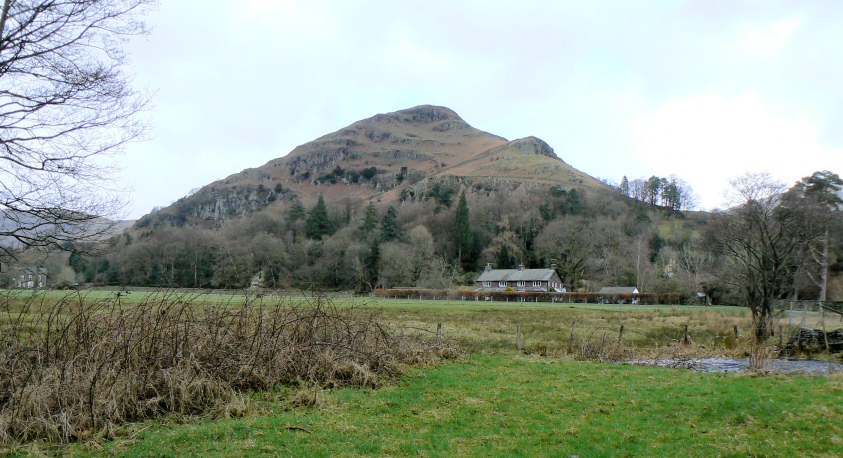
Helm Crag as we leave Easedale Road.
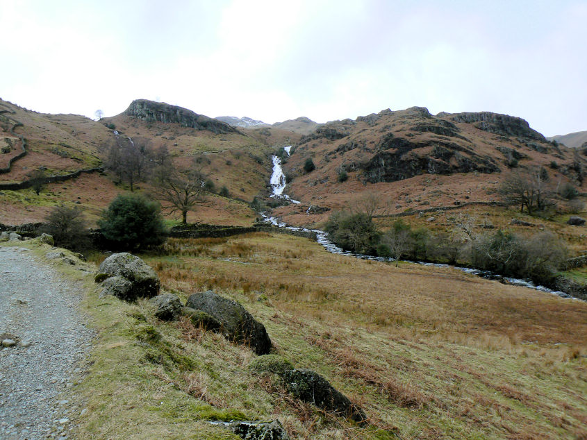
Sourmilk Gill.
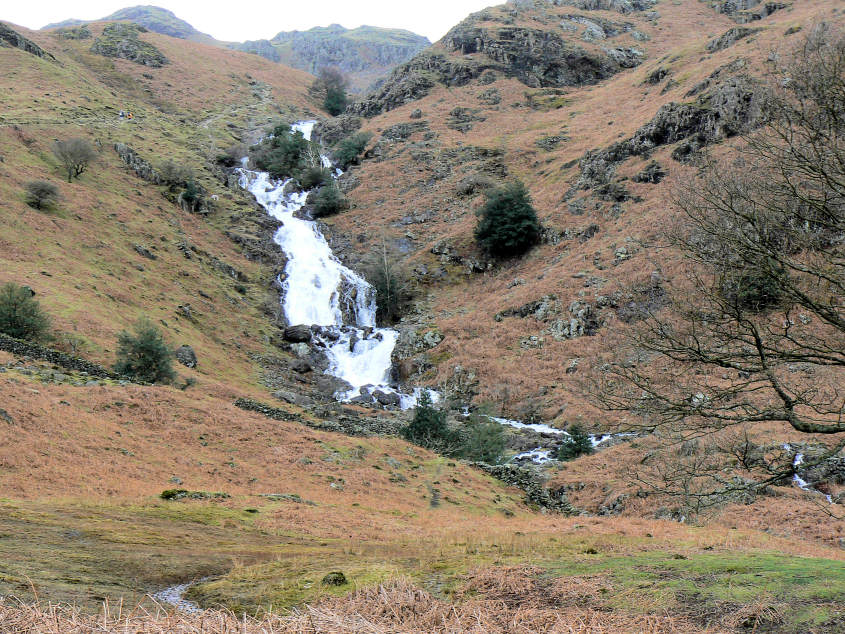
A closer view.
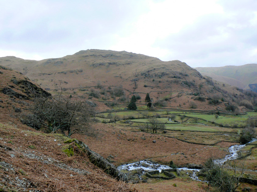
Helm Crag as we approach the falls.
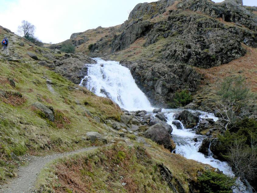
Sourmilk Gill.
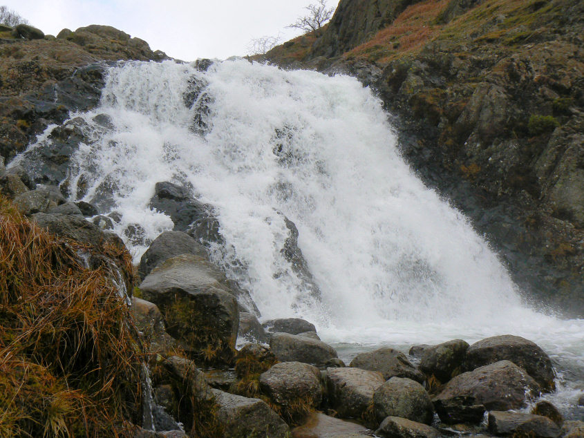
With plenty of water, even before it rains.
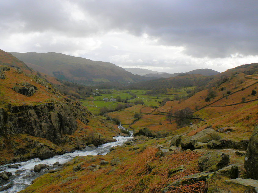
Looking back along Easedale with Loughrigg Fell and Wansfell both visible.
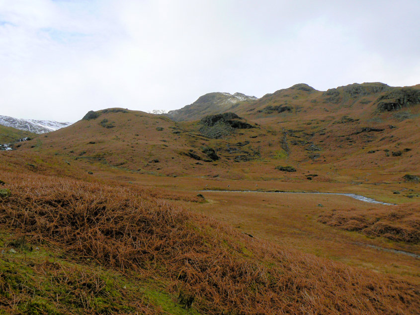
Tarn Crag from just above the falls.
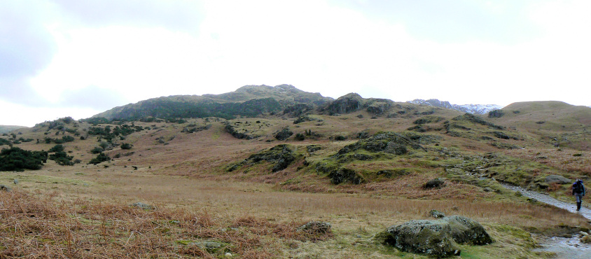
I think it's Blea Rigg.

Looking across Helm Crag to a snow covered Fairfield.
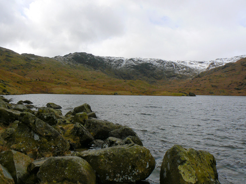
Looking across Easedale Tarn towards Blea Crag.
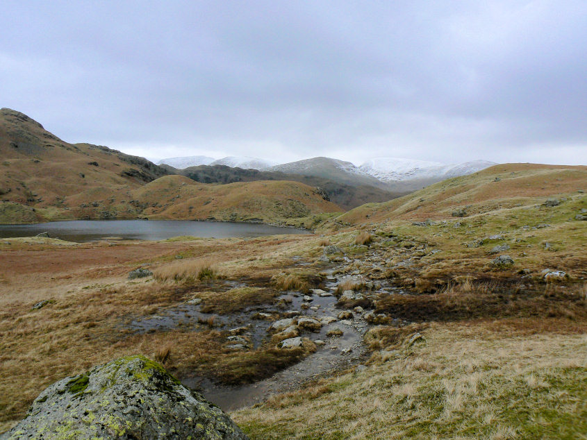
Heading towards Blea Crag and the slight increase in height meant that part of the the Helvellyn massif was coming into sight.
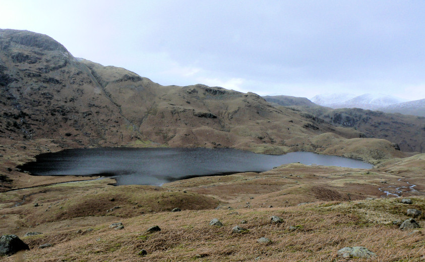
Easedale Tarn from the point at which we started to head back.
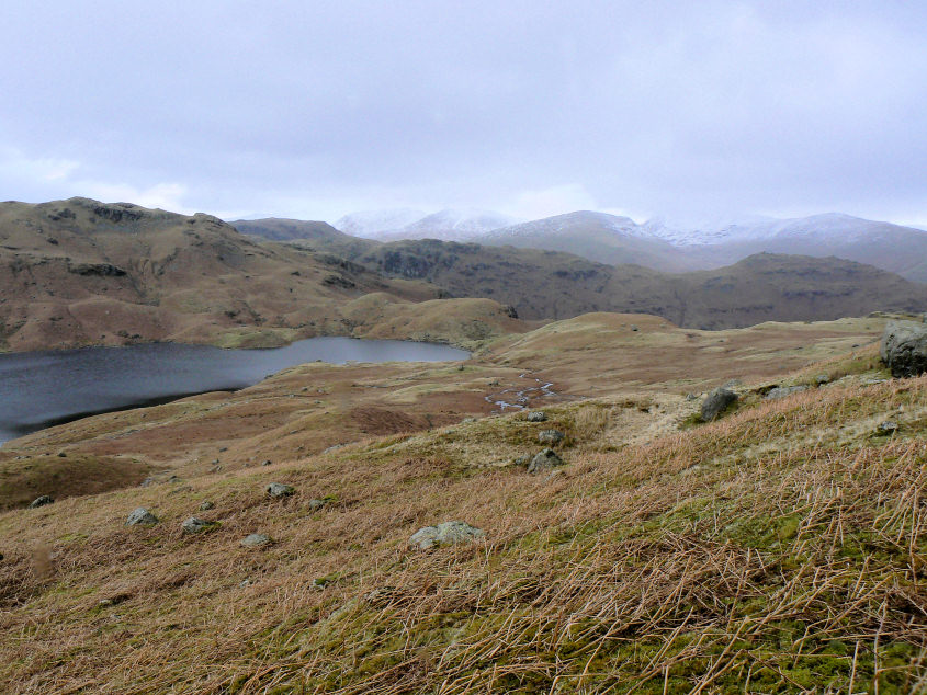
The clouds were starting to cover the higher fell tops and as it was starting to rain we opted for a return to the hotel.
All pictures copyright © Peak Walker 2006-2023